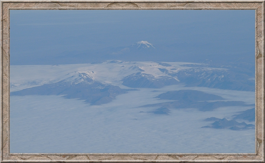
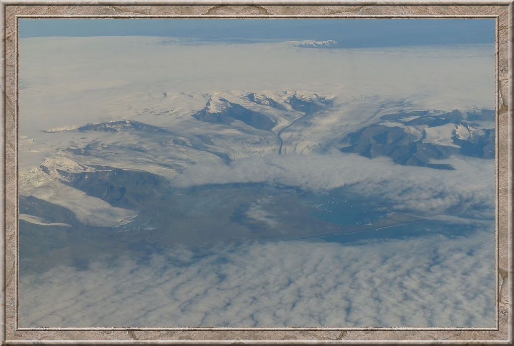
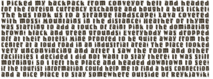
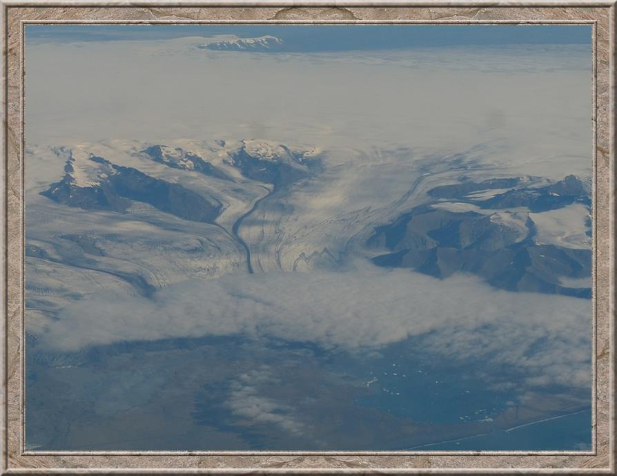
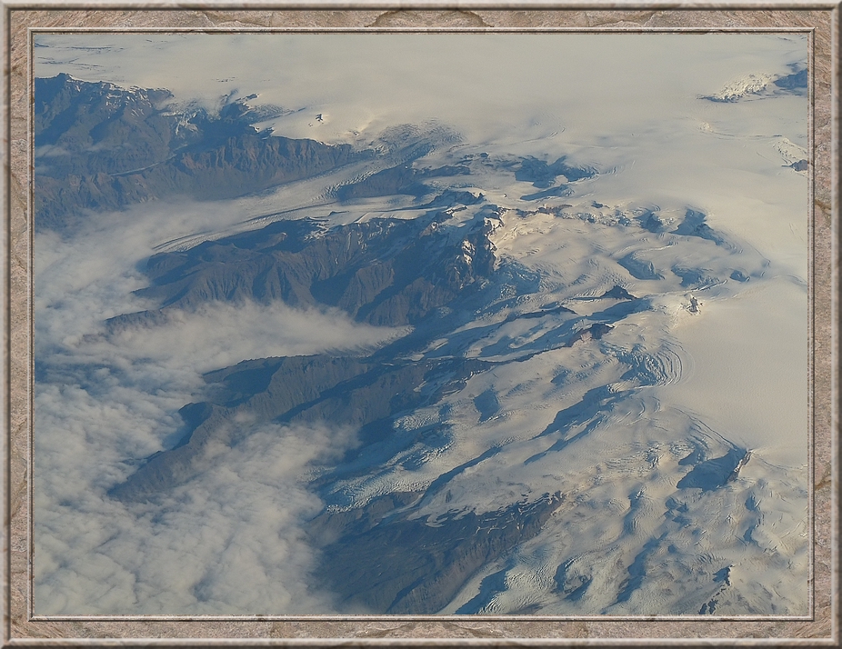
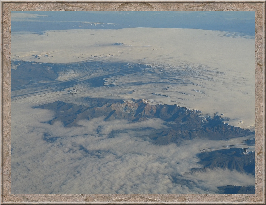
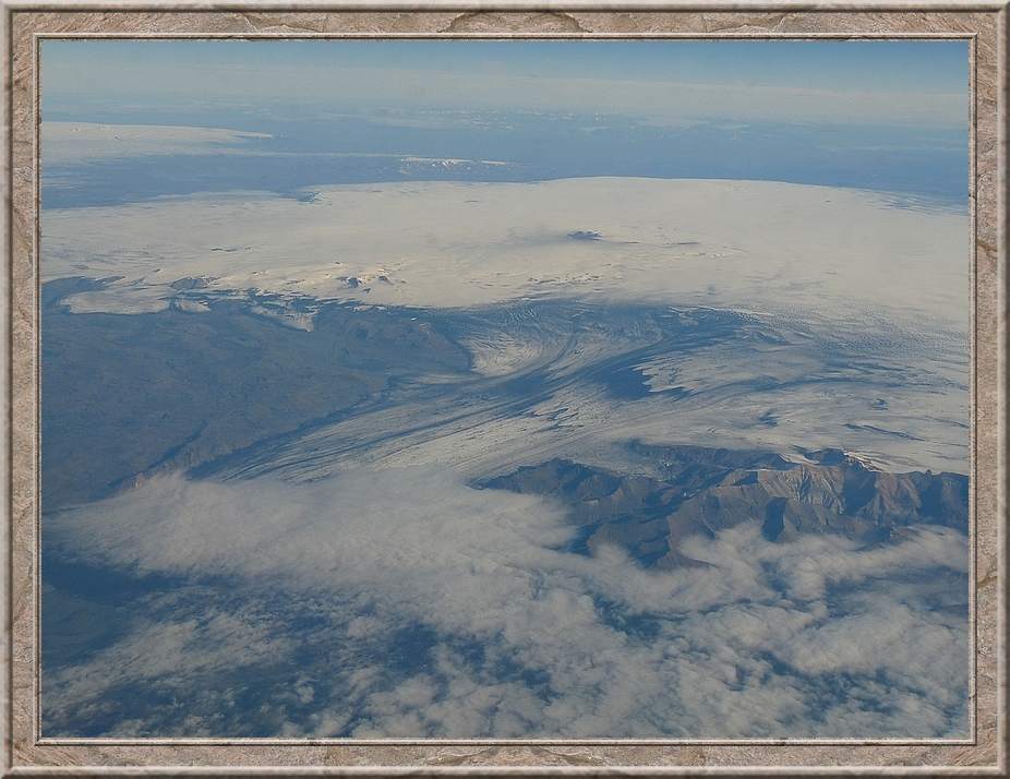
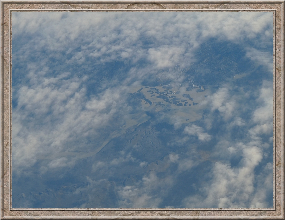
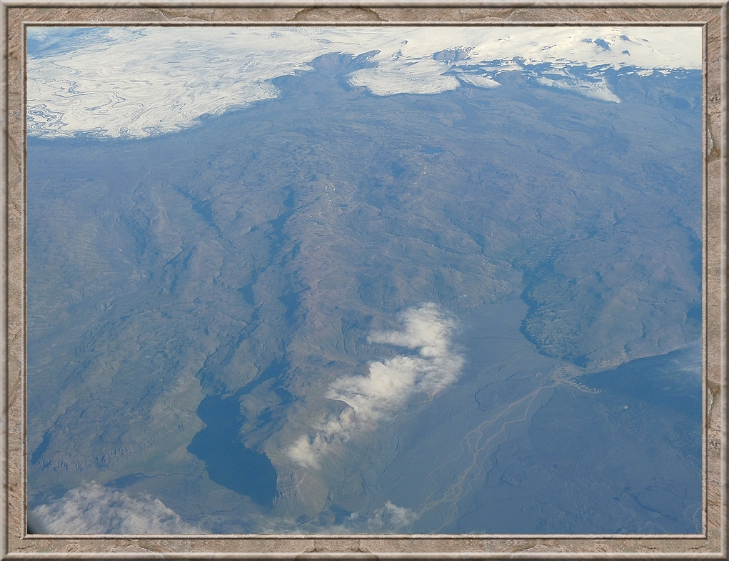
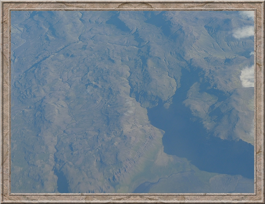
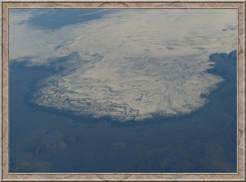
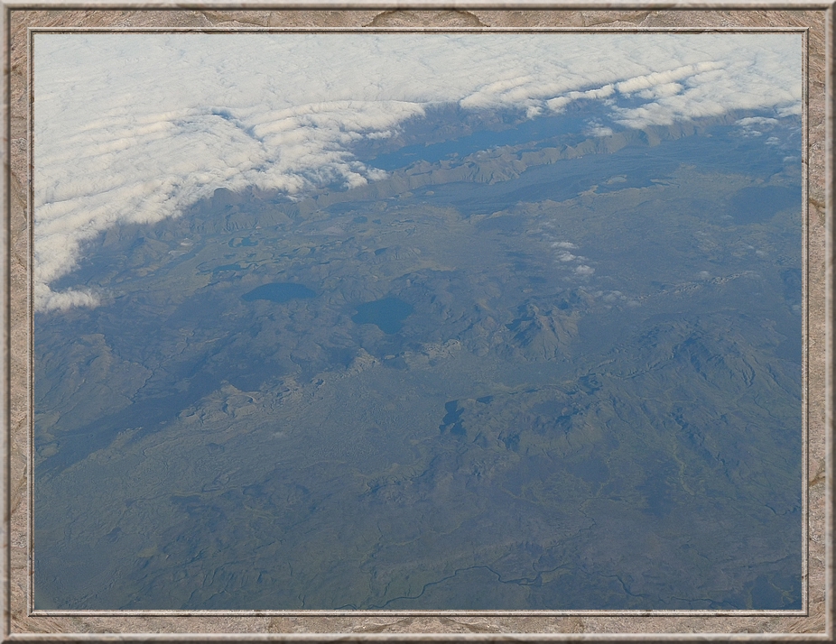
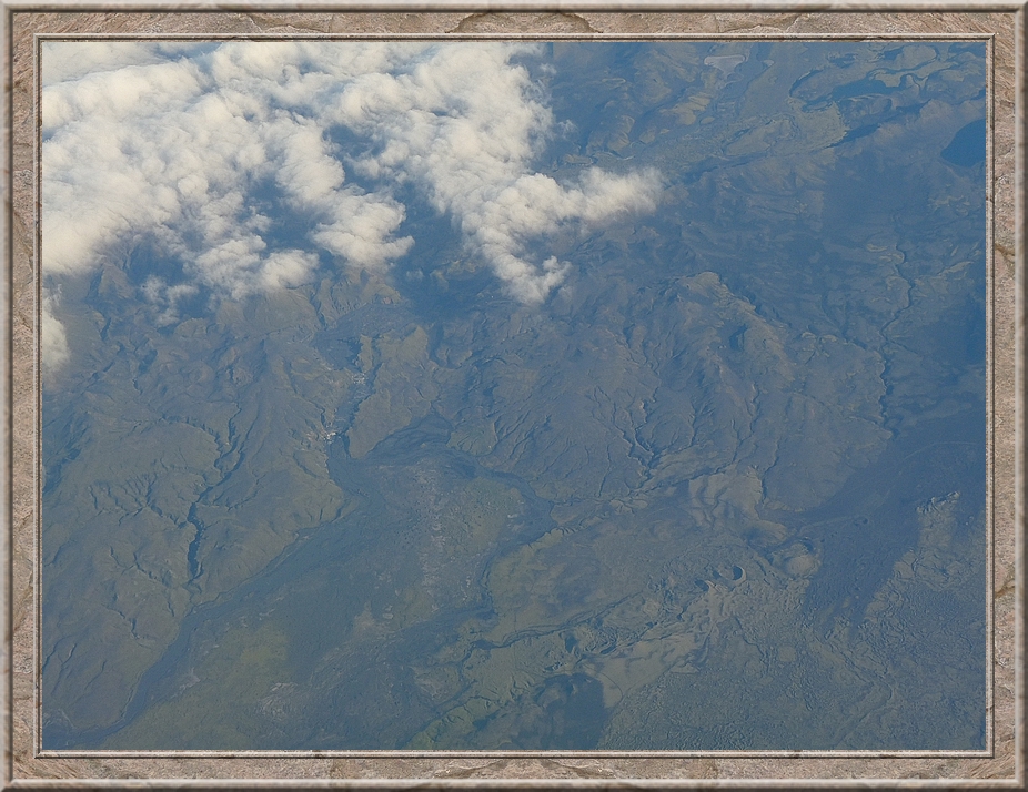
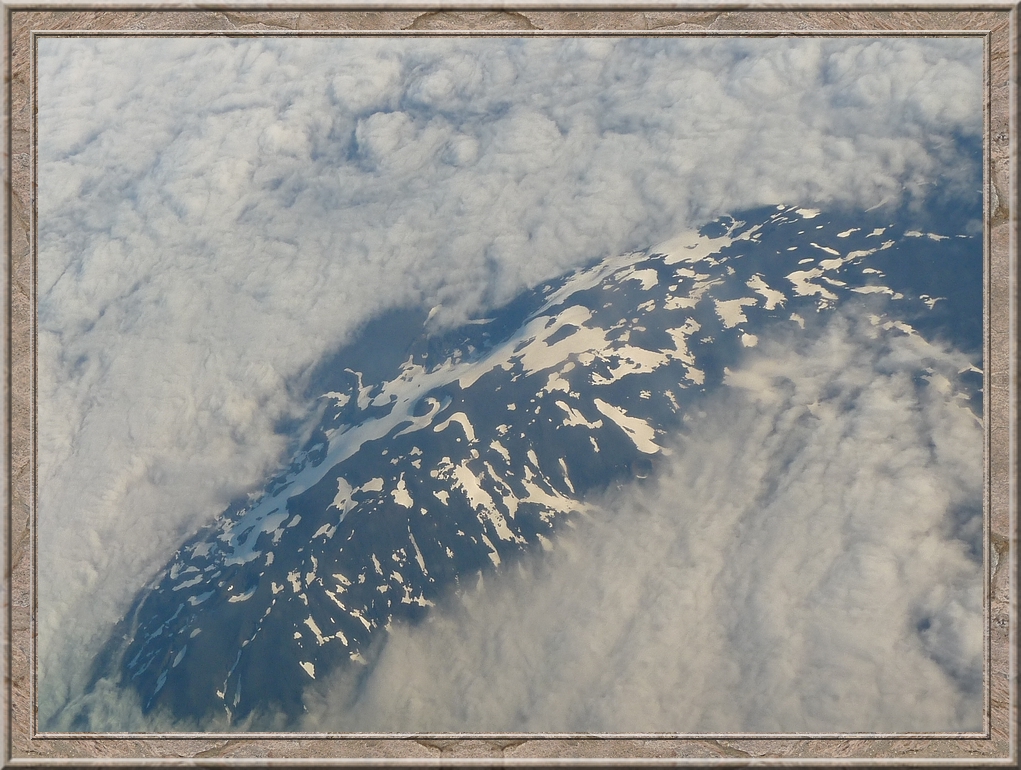
The Vatnajökull with its glacier tongues Fjallsjökull to the left ending in Fjallsárlon and the huge Breiđamerkurjökull in the center ending in the glacier lagoon Jökulsárlon
Breiđamerkurjökull and the glacier lagoon Jökulsárlon. Jökull = glacier, á (-r, -r) = river, lon = lagoon
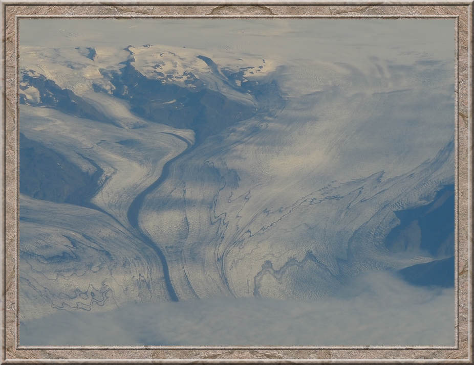
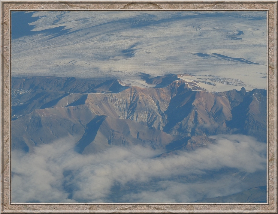
Örćfajökull volcano with Iceland's highest peak: Hvannadalshnjúkur, 2109.6 metres. Hnjúkur = mountain peak.
From back to front: Skaftafell (1126 m), Skaftfellsjökull, Hrútsfjall, Hrútsfjallstindar (1875 m), Svínafellsjökull, Hvannadalshnjúkur (2109.6 m), Virkisjökull, Falljökull
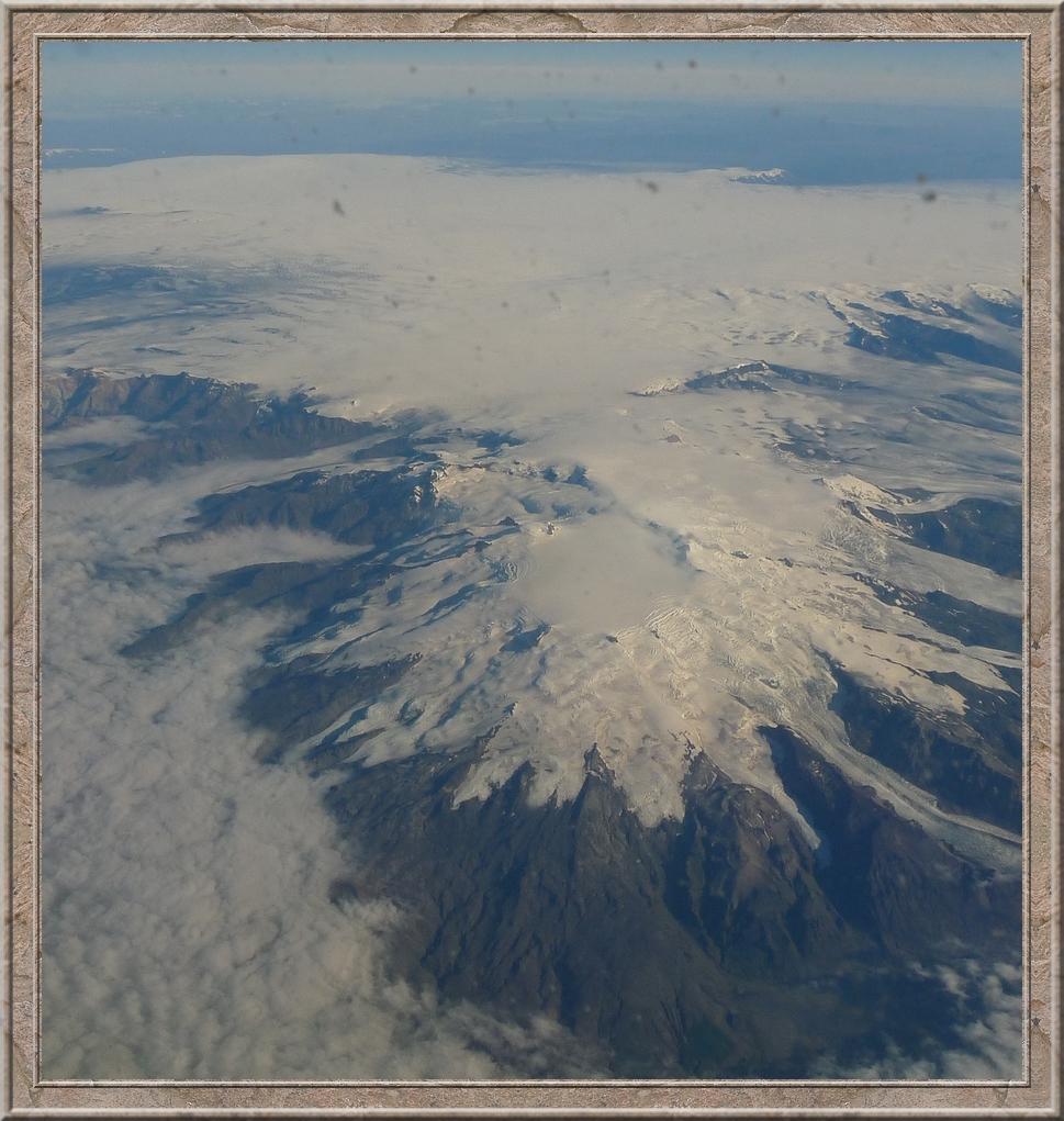
Skeiđarárjökull, Skaftafellsfjöll, Vatnajökull and the dark spot in the middle of the glacier might be the volcano Grímsvötn, which last broke out in May 2011.
Björninn
Síđujökull
Hekla (1491 m)
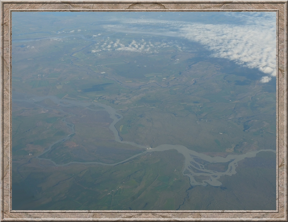
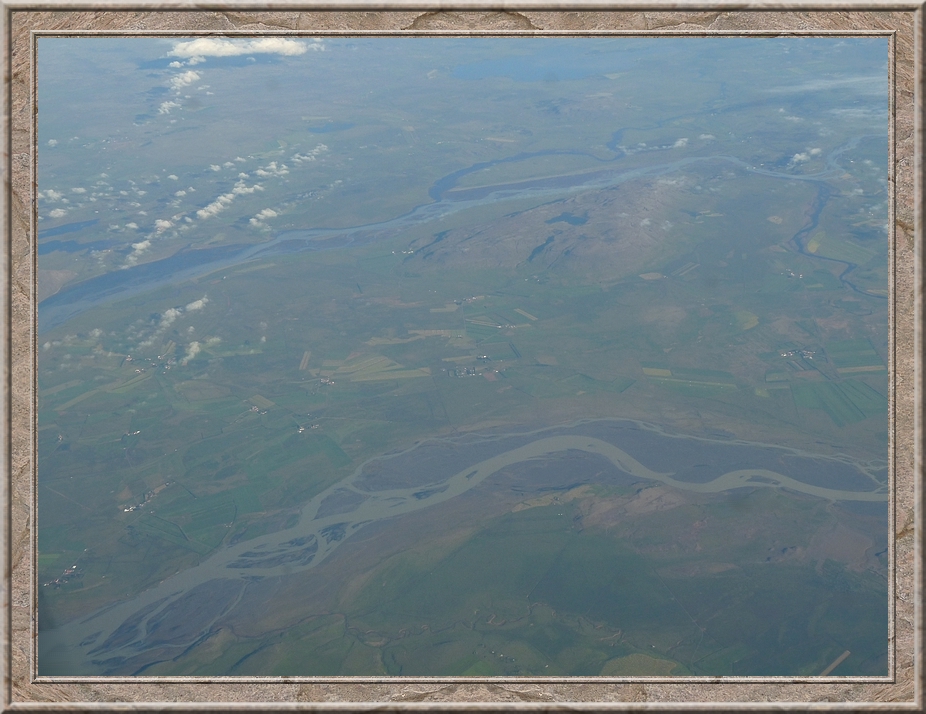
Ţjórá (230 km) is the largest Icelandic river. This section lies in ţjórárdalur west of Hekla.
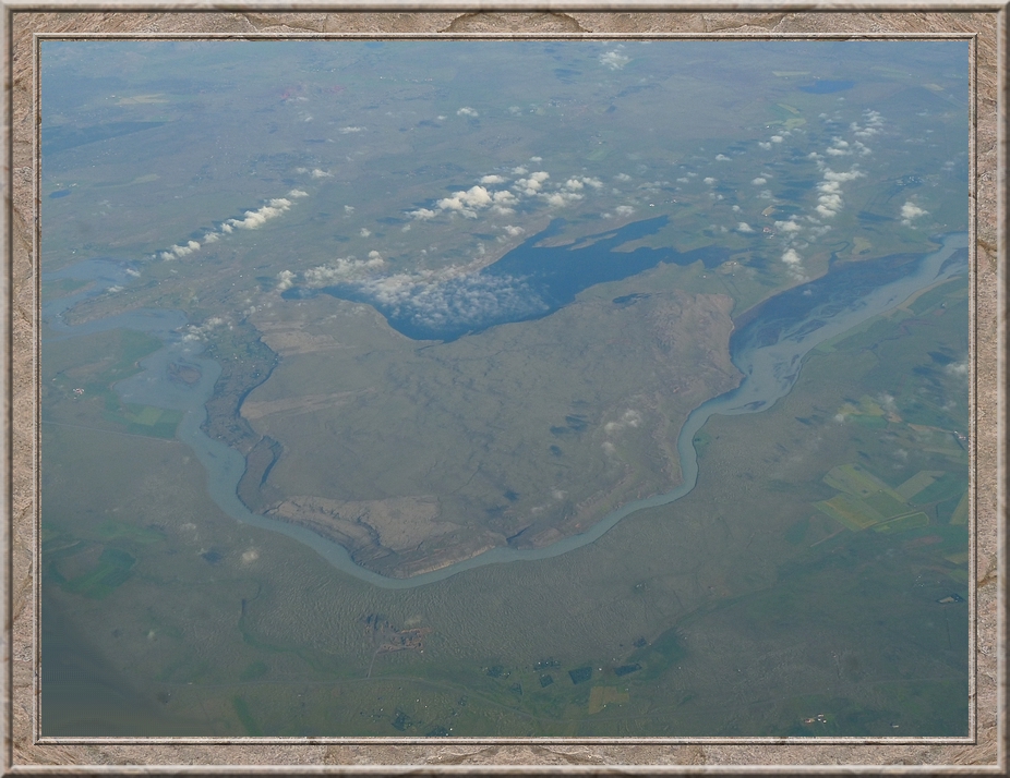
Top: Hvítá (white river), whose most famous sight is the waterfall Gullfoss. Below: ţjórá.
Above the Hvítá is the lake Hestvatn.
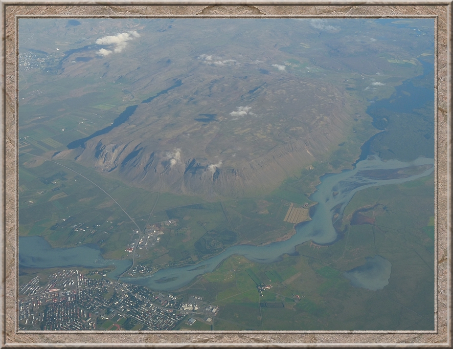
On the right hand side the rivers Sog and Hvítá are meeting and become the river Ölfusá, that soon afterwards flows through the town Sveitarfélagiđ Árborg
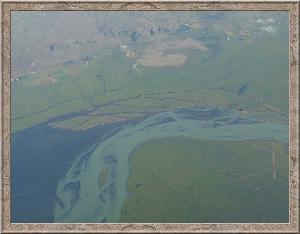
Where Ölfusá meets the Atlantic: Flói Nature Reserve
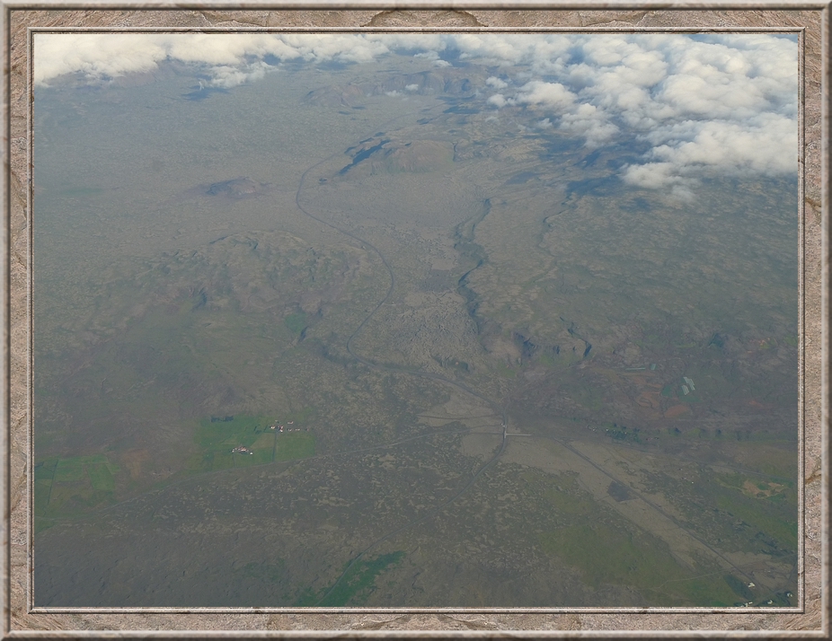
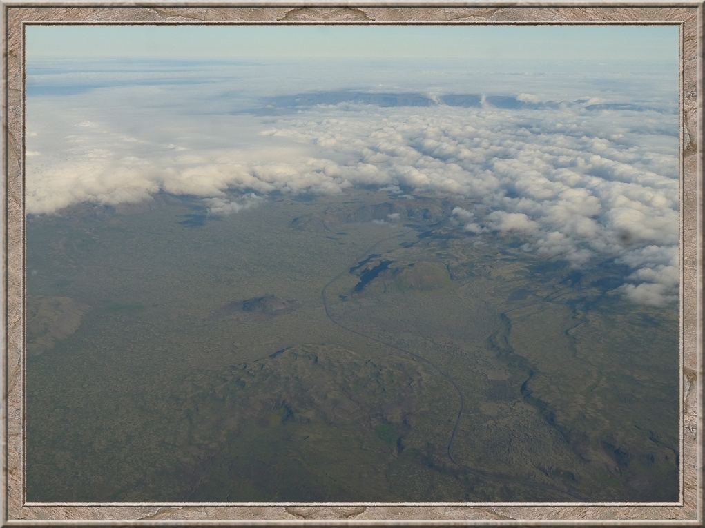
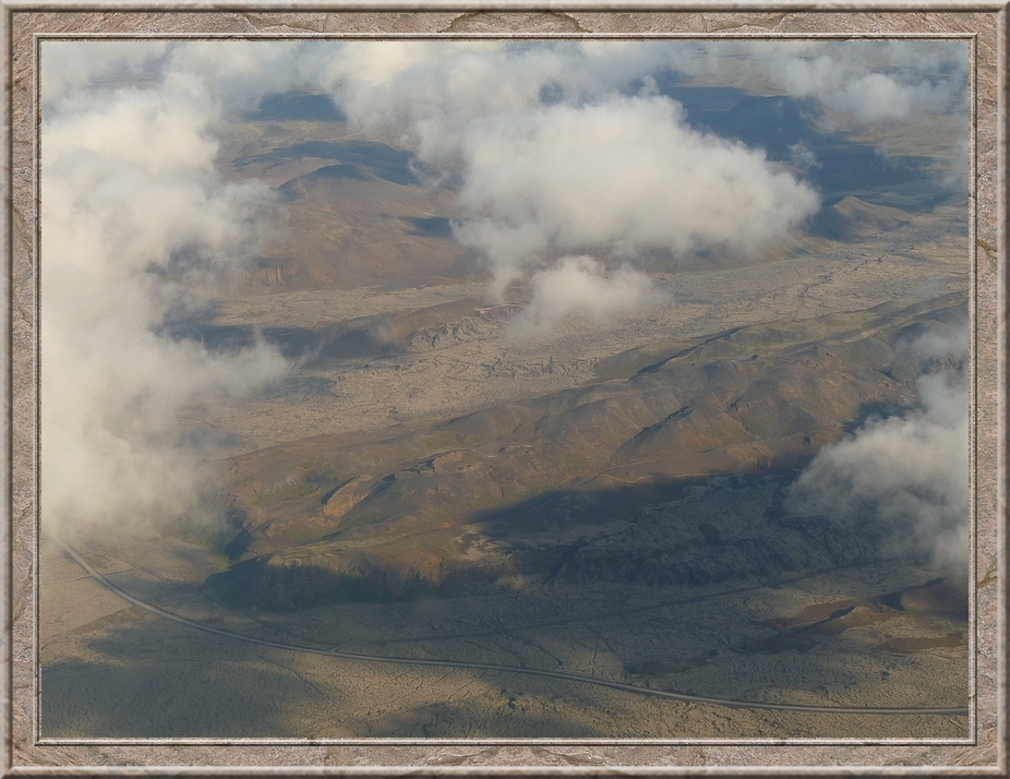
The curved road is ţrengslavegur. The horizontal road below the houses Suđurstrandarvegur. The road leading southwest is ţorákshafnarvegur.
Geitafell (509 m)
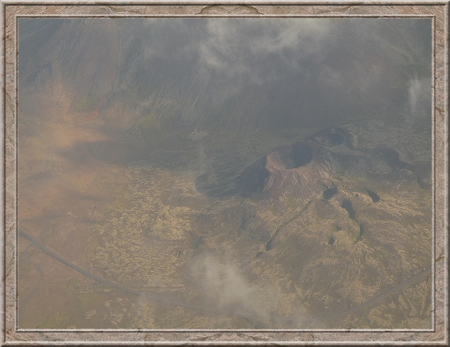
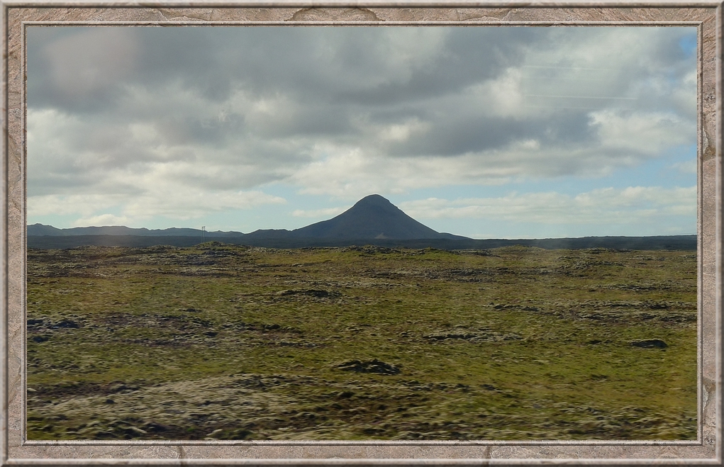
Stóra Eldborg ( = big fire castle)
Stóra Eldborg ( = big fire castle)
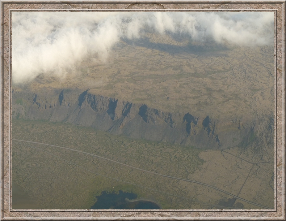
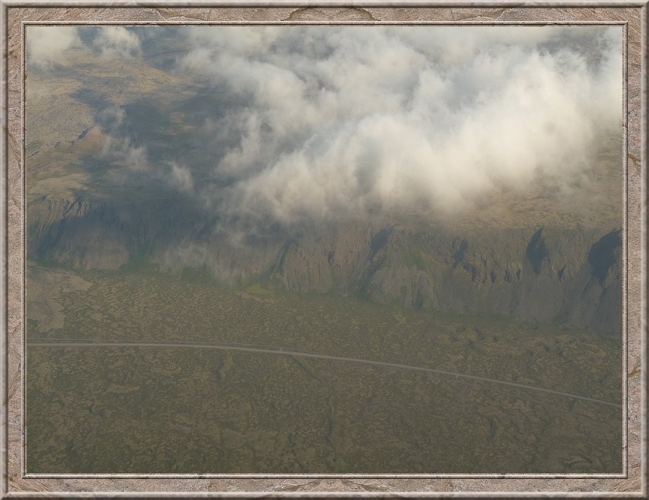
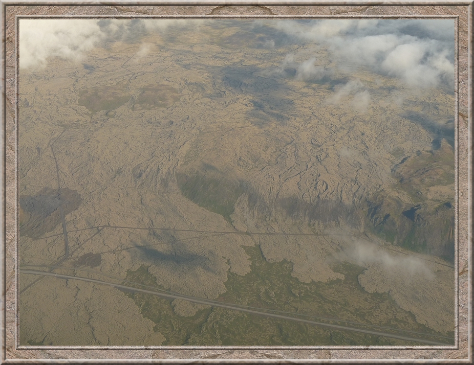
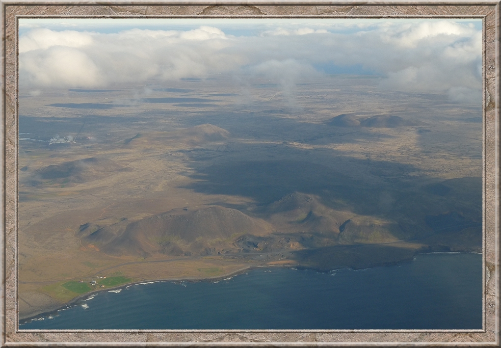
Lava falling down the cliffs at Suđurstrandarvegur (road 427) next to Geitahliđfjall east of Stóra Eldborg.
Along Reykjanesbraut (road no. 41) between Keflavík and Reykjavík
